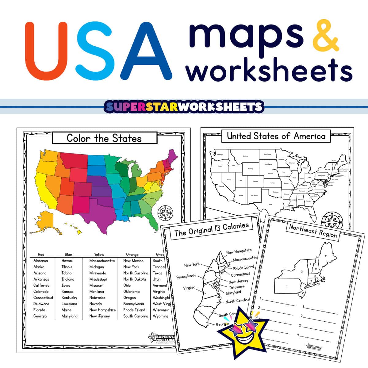
Start your students out on their geographical tour of the USA with these free, printable USA Map Worksheets. Your students will build their knowledge of state names, their capitals, abbreviations, locations, and regions. From labeled to blank maps, these worksheets will not only have your students learn but also test and retain the geography of the US. Be sure to check out our 50 States Bundle for tons of Hands-On Learning Fun about the Nifty 50!
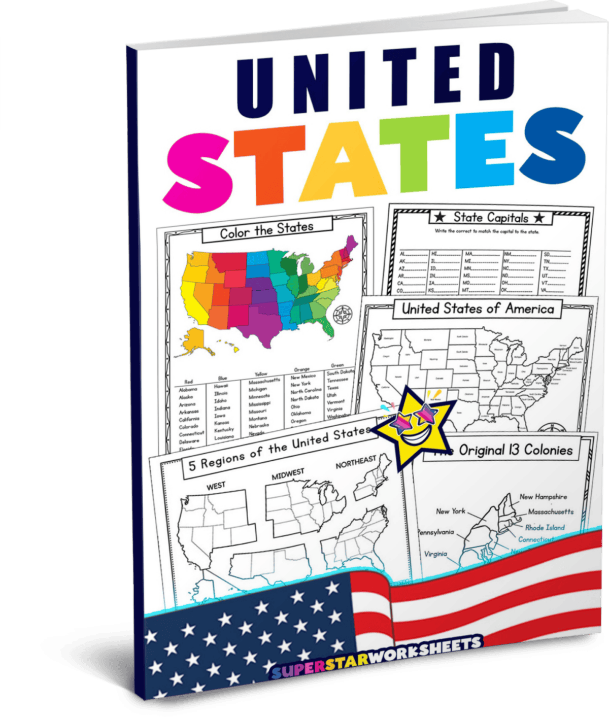
United States Map Worksheet Pack
As a special THANK YOU to our subscribers, this activity pack is offered in a an easy download! (Not ready to subscribe? Print the free pages individually below. )
USA Maps and Worksheets
With these free, printable USA maps and worksheets, your students will learn about the geographical locations of the states, their names, capitals, and how to abbreviate them. They are great as a stand-alone for your geography workstation and take-home activity packs!
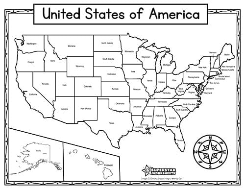
Labeled USA Map
This labeled map of the USA will make a great starting point for teaching your students the names and locations of all 50 states. Add it to your geography center and your students homework packs for a great reference tool for location, name, and spelling of each state.
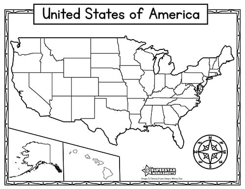
Blank Map of the USA
This blank USA map can be used in so many ways. Pair it with any of the worksheets to add another layer. Or use it by itself to test your students on anything from state capitals, names, abbreviations and so much more!
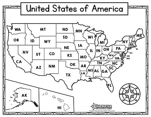
USA State Abbreviations Map
Now that your students know the names of the states, get them started on the state abbreviations with this full page USA map worksheet.
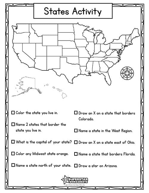
State Activity
Students will enjoy this USA States Activity worksheet. They will be asked to read and follow tasks as they color, name and draw their way across the map!
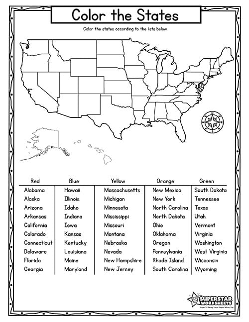
Color the States
This worksheet will have your students reading and following directions as they locate states on the map, then color them in with the colors listed on the key.
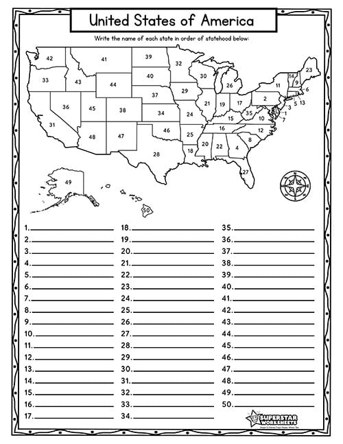
USA Numbered Map Quiz
Test your students’ knowledge with this USA, numbered, USA State Map Quiz. Geography teachers will appreciate that the number order is presented in order of statehood (admission to the Union) for extra learning. Includes a simple answer key for easy grading.
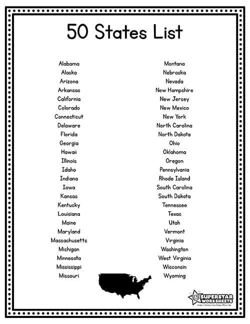
List of 50 States of USA
This worksheet lists the states in alphabetical order. This one-page sheet would make a great addition to your geography center as well as homework packets. Additionally, you can three-hole punch this page and include inside your student binders to f a simple reference chart.
Travel the 50 states with our incredible U.S.A. Activity Bundle! This Fifty States bundle includes FIVE interactive 50 States unit studies for four subjects including geography, history, science, and writing. Your students will love and teachers will appreciate the 50 States maps, activities, games, and so much more.
50 States & Capitals Worksheets
Once your students have a handle on the names and locations of all 50 states, you can begin to learn about the state capitals. Start first by introducing the name of each state capital for each state. You might even play this catchy 50 states and capitals song with your students each morning. It’s a super fast and fun way to memorize all the capitals.
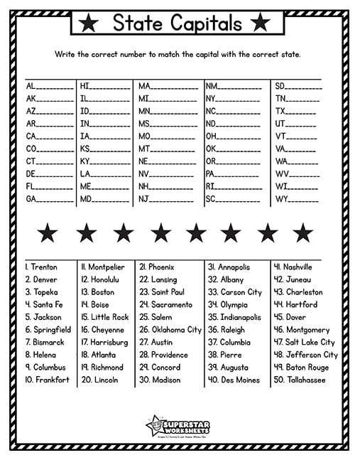
Match State Capitals to States Worksheet
Your students will need to match state capitals to the state abbreviations with this US capital, map, worksheet. Use the blank USA map to add another level.
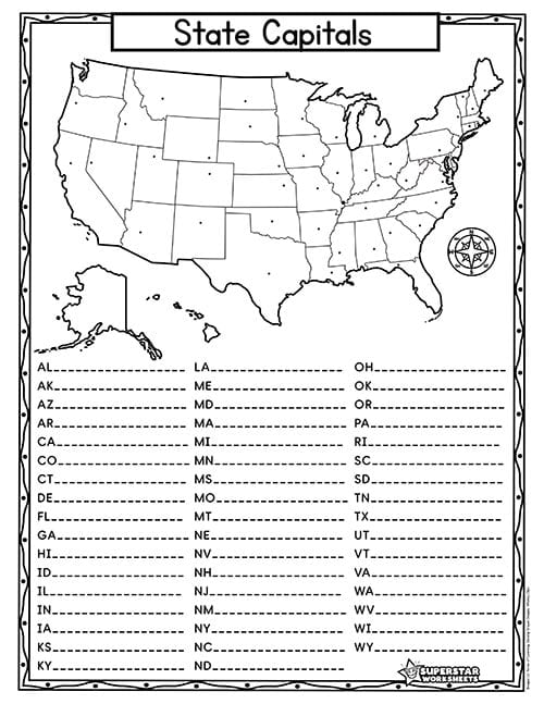
State Capitals Matching Worksheet
Stars mark the location of the state capitals in this USA Map worksheet. Students will be tested on their knowledge of state capitals as well as state abbreviations. State abbreviations are listed in alphabetical order with room for students to write in the name of each state capital. We suggest also having students color each state as they go. Simple teacher answer key is provide for quick corrections.
US Historical Maps
Below You’ll find historical US Maps and printables you can use for teaching US History alongside geography. Check out our fun, free American Flag Coloring Pages too!
13 Colonies Labeling Maps
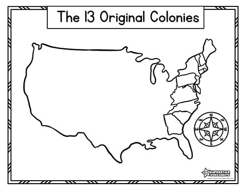
13 Original Colonies Blank USA Map
This 13 original colonies map will allow your students to see the full map of the USA, in relation to the colonies. Take it to the next level and have your students draw lines for the 5 different regions.

Labeled Original 13 Colonies Map
Use this labeled colonies map to help your students learn the state names as well as geographical location.
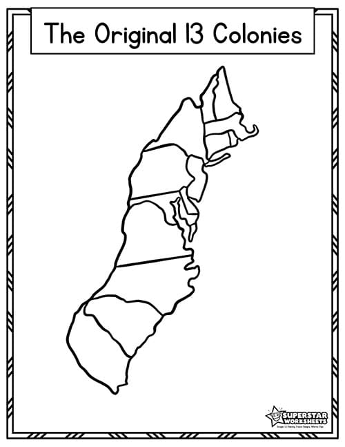
Blank 13 Original Colonies Map
Now that your students have learned the 13 original colonies, test their knowledge with this blank 13 colonies map!
Label US Regions Maps & Activities
Students learning about the geographical regions of the United states can use the following printable worksheets to practice and test their knowledge. Before using the material it’s important to understand the nuances of how your specific geography curriculum divides each region. See below for details on which states are included in each region.
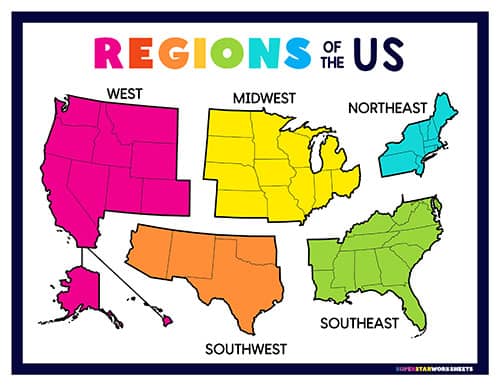
5 Regions of the US Chart
Free full color printable poster representing the 5 regions of the United States. This color-coded chart makes a fantastic reference tool for young students learning the geographical regions.
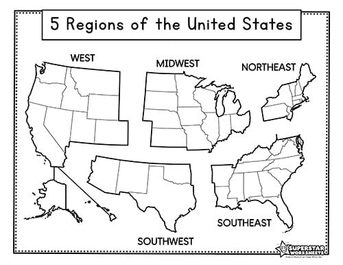
Labeled Regions of the United States
This labeled Regions of the USA would be a great addition to your students homework pack. It will help your students learn the region names and locations. Try using it as a cut and paste to make it more hands on!

Cut & Paste Regions of the United States
Challenge your students to cut and paste to name and label the 5 regions of the US. This simple activity is a great assessment of student knowledge. Older students can fill in the names with each blank label instead of cutting.
US Regions Label & Matchin Worksheets
Below you’ll find individual worksheets for students to identify and label the states included in each region. Helpful answer keys are provided for easy grading.
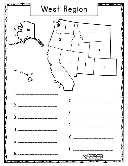
West Region USA Map
Free printable map featuring the 11 states in the West Region. Students can practice labeling and naming each states.
West Region: Alaska, California, Colorado, Hawaii, Idaho, Montana, Nevada, Oregon, Utah, Washington, and Wyoming.
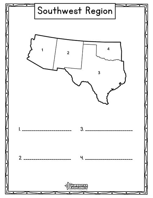
Southwest Region USA Map
Have your students work individually or in groups as they fill in the 4 state names in the southwest region. Add crayons for a creative spin.
Southwest Region: Arizona, New Mexico, Texas, and Oklahoma,
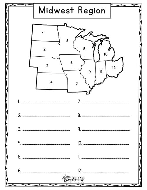
Midwest Region USA Map
Test your students knowledge with this Midwest region map. This worksheet would make a great addition to your geography lesson plan!
Midwest Region: Illinois, Indiana, Iowa, Kansas, Michigan, Minnesota, Missouri, Nebraska, North Dakota, Ohio, South Dakota, and Wisconsin.
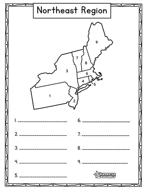
Northeast Region USA Map
This Northeast Region map will have your students identifying and naming 9 states. Take it to the next level by asking them to also list the state abbreviations.
Northeast Region: Connecticut, Maine, Massachusetts, New Hampshire, New Jersey, New York, Pennsylvania, Rhode Island, and Vermont.
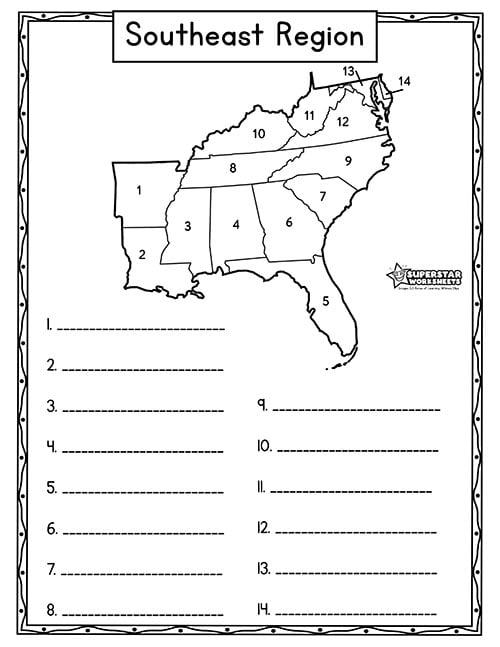
Southeast Region USA Map
The Southeast Region is comprised of 14 states. Test your students’ knowledge of this southern region on the USA map. Make it exciting by turning it into a game!
Southeast Region: Alabama, Arkansas, Delaware, Florida, Georgia, Kentucky, Louisiana, Maryland, Mississippi, North Carolina, South Carolina, Tennessee, Virginia, and West Virginia.
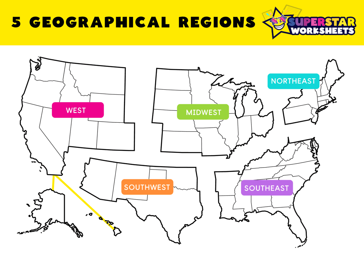
How Many Geographic Regions are there in the US?
It’s very important to note that regions are not strictly defined and borders often vary by curriculum or source. For example, National Geographic Education includes Delaware and Maryland into the Southeast Region, while the Smithsonian places them into the Northeast region. The CDC, and the Census Beurau accepts 4 regions. Additionally, many other sources further define the states into 7 different regions.
GEOGRAPHIC REGIONS (5 regions) This is elementary schools’ most basic and commonly taught version. Our printables and resources are based on these 5 geographic regions. If you are using our materials alongside your curriculum, please check to ensure any differences or conflicts are resolved. NOTE: There are even nuances within the 5-regions format as well, so check that all states and regions match your program for consistency.
- West Region: (11 States) Alaska, California, Colorado, Hawaii, Idaho, Montana, Nevada, Oregon, Utah, Washington, and Wyoming.
- Southwest Region: (4 States)Arizona, New Mexico, Oklahoma, and Texas.
- Midwest Region: (12 States) Illinois, Indiana, Iowa, Kansas, Michigan, Minnesota, Missouri, Nebraska, North Dakota, Ohio, South Dakota, and Wisconsin.
- Southeast Region: (14 States) Alabama, Arkansas, Delaware, Florida, Georgia, Kentucky, Louisiana, Maryland, Mississippi, North Carolina, South Carolina, Tennessee, Virginia, and West Virginia.
- Northeast Region: (9 States) Connecticut, Maine, Massachusetts, New Hampshire, New Jersey, New York, Pennsylvania, Rhode Island, and Vermont.
US Territories Maps
You might be wondering about US Territories and where they fit in? Or what about our Nations Capitol, Washington DC? We’re currently developing additional maps and resources you can use with your students. We’ll post them below when they are complete.

Comments (19)
Thank you for these! I can’t tell you how excited I was when I found them!
I love them I am going to use them with my students next nine weeks !
Thank you so much! My ESL students will enjoy these maps very much!
These worksheets are so awesome! So happy to have found them! Just wish the colonies worksheets could be printed.
I would like to say a big thank you for finding this wonderful resource, my kids will enjoy learning together all about USA.
Thanks for letting us know about the broken link, Jennifer! We’ve updated them, if you can refresh the page to download them 🙂 Happy Teaching!
These are great!! Thank you for providing them to us all!
Thank you!!!
These worksheets are so helpful.
THIS IS SOOOO AWESOME!! THANK YOU!!!!
These are amazing worksheets! Thank you for allowing them to be free!
how do we download these worksheets?
Helps alot
THANK YOU!!! Your maps are great! Can you create a USA regional map that is blank. One without the boxes on the different regions/states. I need it for our accommodations for our state test.
Thank you SO much!!!
the 13 colonies wksheet and within the entirety of the US map is just what I was looking for… thank you so much!!
These have helped me teach all my kiddos, through homeschooling, the entirety of the United States of America map. Thank you so much.
The cut and paste resource is not the correct PDF. The worksheets I have used so far have been amazing. Thanks!
Thank you for letting us know, Caroline. All fixed (you might need to refresh the page or clear cookies). Here is the direct link as well: https://superstarworksheets.com/wp-content/uploads/2025/05/5RegionsWorksheet.pdf Happy Teaching!
Thank you for your work, this homeschooling mom is grateful.
These worksheets are just what I’m looking for.